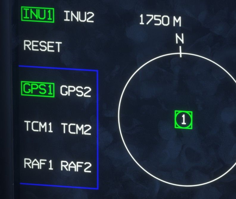
POS
Description
The position page is closely linked to the NAV page and displays information related to the INS.
This page can be opened from PDS1.
In the upper-right corner, you can select whether the display is referenced to INU1 or INU2.
A compass rose, with north indicated, shows the horizontal positional difference between the two inertial navigation units. The displayed distance value indicates the full scale of the circle, in meters.
A vertical scale shows the altitude difference between the two units. The value displayed in feet indicates the full range of the scale.
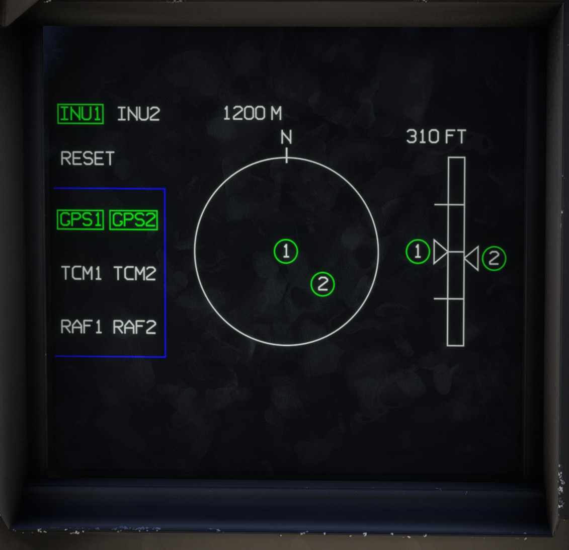
The settings for both INUs can be configured on the left side of the page.
For example, selecting GPS1 means that the corresponding INU is hybridized with the GPS system, allowing faster alignment.
The schematic representation of an INU changes from a square to a circle when it is hybridized.
TCM and RAF correspond to alternative positioning modes that are not simulated in the current implementation.